
Maps show data in relation to geography. The following maps are relevant regarding groundwater.
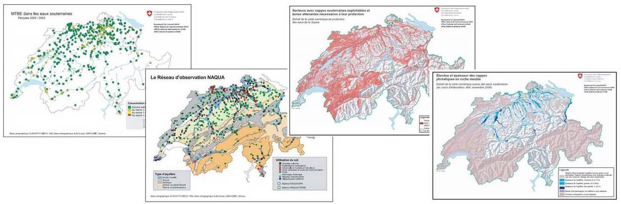
Groundwater maps
Groundwater maps show the extent and thickness of the groundwater resources and their flow directions. For a construction projects, for instance, groundwater maps indicate how high the groundwater level is. For water supplies, they provide information on the flow direction and therefore the origin of the moving groundwater or the best places to exploit new groundwater resources.
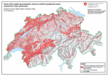
Water protection maps
The cantonal water protection maps in the FOEN-WebGIS
The cantons generally produce water protection maps to a scale of 1:25,000. They mainly
- Water protection regions Au;
- area of contribution Zu;
- Groundwater catchments and their groundwater protection zones (S / S1, S2 and S3);
- Groundwater protection areas.
The precise data on which it is based continues to be owned by the cantons and can be obtained from the cantonal environmental protection departments at any time. An analysis using geographical information systems has formed the basis e.g. for outline maps of the groundwater protection zones and water protection regions.
Maps (pdf)
Last modification 11.10.2021

